![]()
![]()
![]()
![]()
![]()
![]()
![]()
![]()
![]()
![]()
Half Day Airai & Cave Tour


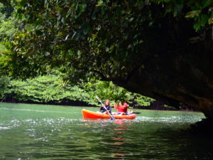
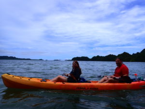
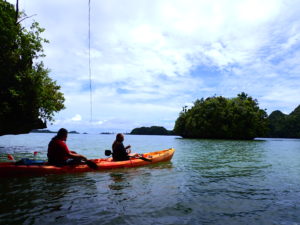
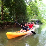
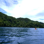
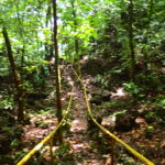
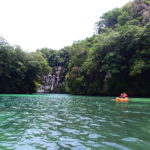
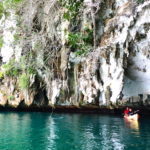
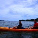
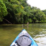
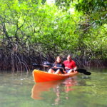
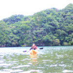
Today we paddled the Airai course.

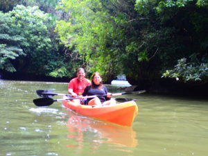
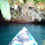
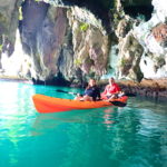
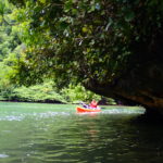
The current in the channel was fast today and we paddled hard. Once through there, a calm rock island awaits.

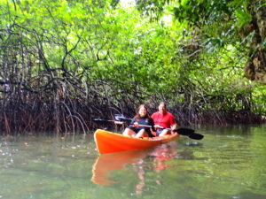
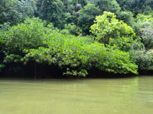
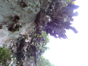
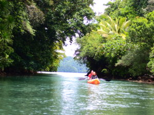
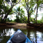
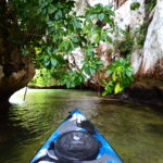
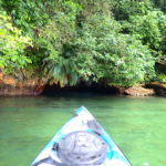
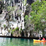
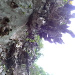
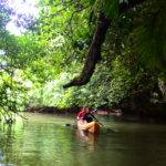
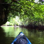
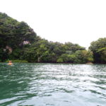
The state of Airai is a mix of volcanic and coral islands. Therefore, there are vast mangrove forests near the volcanic islands, and beautiful mangroves can be enjoyed on the rock islands in places.
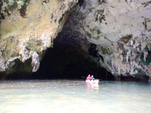
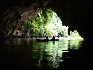
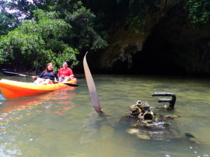
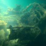
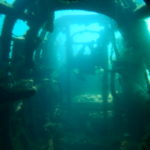
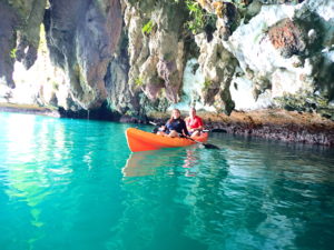
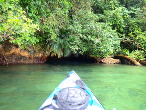
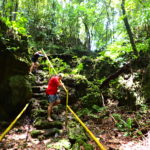
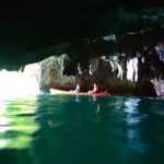
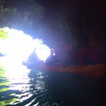
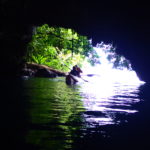
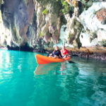
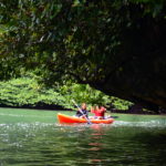
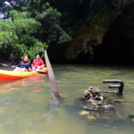
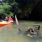
After passing through a mangrove channel, there is a sizable cave, which was used by the former Japanese Navy during the Pacific War as a storage area for waterborne reconnaissance aircraft. Therefore, this place is called Hangar Cave.
Outside the cave, the engine section of the plane can be seen, and the bullet holes in the propeller clearly indicate that a war was fought here.


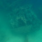
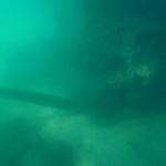
A waterborne reconnaissance plane sunk in the sea a short distance away. The U.S. military code-named this aircraft Jake, a three-seater reconnaissance plane with floats that allowed it to take off and land on the water.
Unfortunately, the water was muddy today due to low pressure and we could not see it, so this is a picture I took earlier.
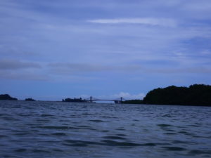
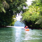
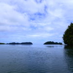
Paddling along Rock Island. The KB Bridge can be seen in the distance. To the left of the bridge is Koror Island and to the right is Babeldaob Island. The name comes from the first letters of these two islands.

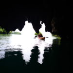
The local people also call it the Shark’s Mouth, commonly known as the White Wall, with huge stalactites hanging from it.
The reason why it is white is that many seabirds live here and their droppings accumulate, giving it this color. Over the years, these places have turned into phosphate ore, which in the past was useful as a fertilizer material.
Angaur Island, south of Rock Island, was famous for the mining of this phosphate ore.


The next stop was the small Blue Cave. It turns a beautiful blue when the sun shines through, but today the light was weak. The position of the sun changes with the time of year, so nature’s art is fickle.
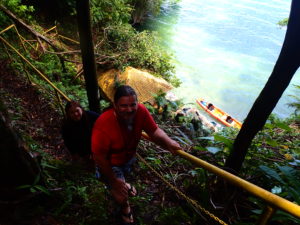
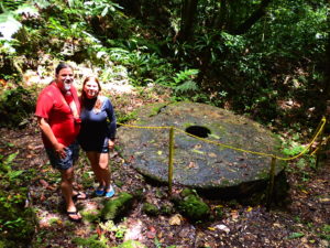
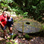
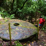
The last place I visited was Stone money Island. This huge stone money is said to be the largest coin in human history. In fact, it was coined long ago by the people of Yap Island, located northeast of Palau.
They came to Palau by outrigger canoe or raft, a distance of about 400 km each way, and negotiated with Palauans to carve this stone money from the rock island.
The reason for this is that there are few limestone islands near Yap Island, and limestone, especially crystallized crystalline oxidized limestone, was the preferred material for this stone money.
In modern times, it would be easier to understand if we speak of marble. Marble is still used today as a high-grade building material, and it is quite moving to know that people long ago also found value in it.
From Stone money Island, we took a short cut back to the harbor. This is because paddling along the island inevitably makes the distance longer.
The fast-flowing channel that we struggled with on the outward trip, we were able to ride the current on the return trip, and it was comfortable enough that we did not need to paddle.
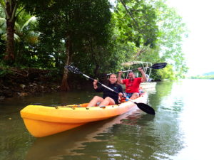
Thank you for participating in the tour! You toured quite a distance for a half-day tour.
Please feel free to contact us again for another chance!
Wonderful World Palau English Page
Tour Photos


Guests who participated in the tour can use the photos on this page for their own SNS. I am glad if you can tag #Wonderful World Palau!